Model's Description:
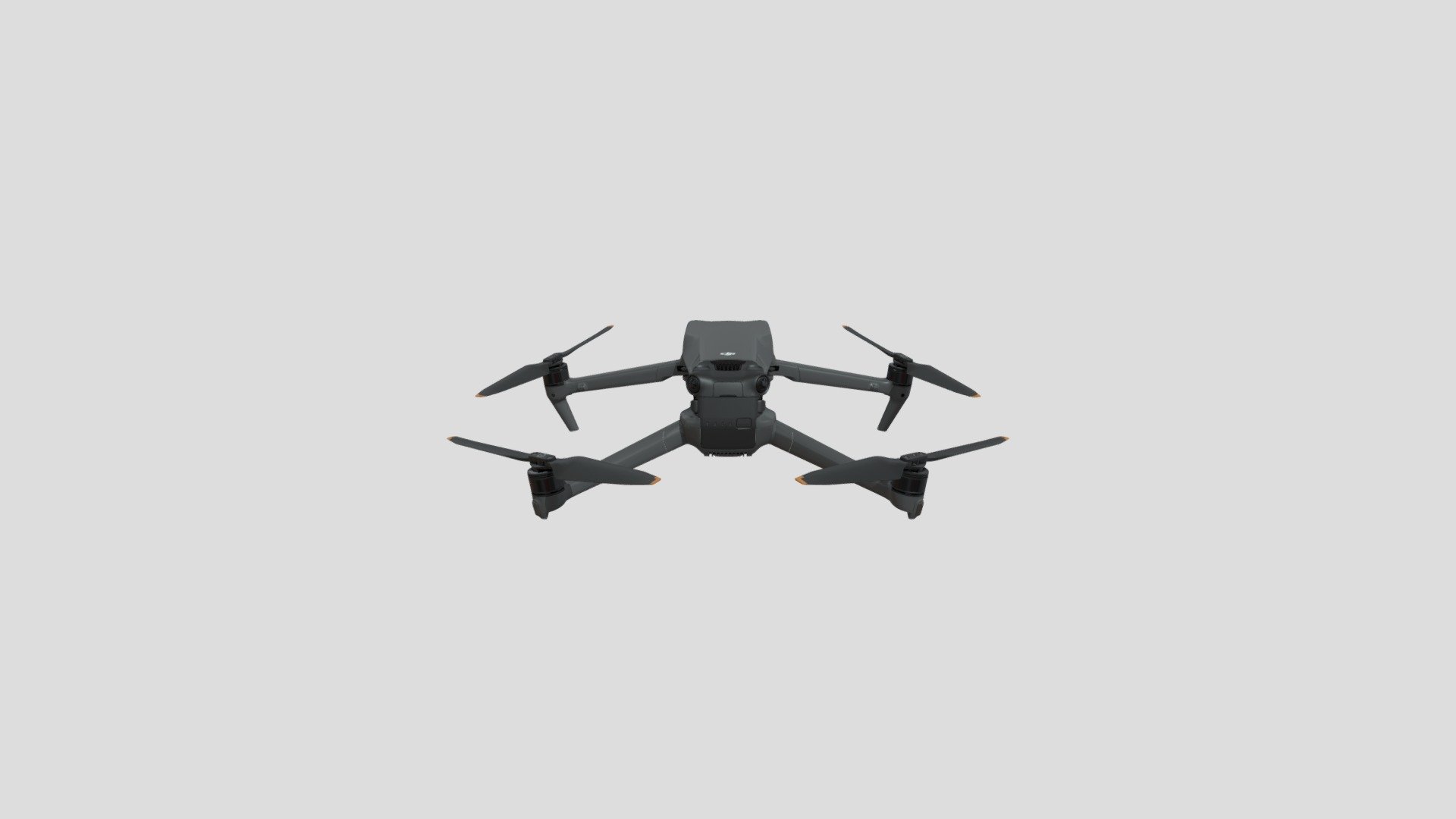
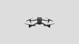
DJI Mavic 3 3D Model, Fully textured with UV Mapping and materials.
Download
DJI Mavic 3 in various files formats such as Wavefront Object format, Autodesk FBX, DirectX 9.0, Stereo Lithography and HTML5 JSON format.
3D Model is ready to download for free
with 1 Texture files attached, this model contains 127011 polygons and 69179 vertices.
Model's rating is (3.5) based on 39 Votes.
Model's Description:
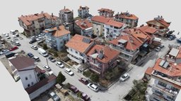
Isparta City Block, Turkey 3D Model, Optimized by RigModels.com, Fully textured with UV Mapping and materials.
Download Isparta City Block in various files formats such as Wavefront Object format, Autodesk FBX, DirectX 9.0, Stereo Lithography and HTML5 JSON format.
This model is available for free. If you like it and want to support me, donations are welcome: boosty.to/mgv/donate
Residential block in the city of Isparta, Turkey. It is located in Bahçelievler mahallesi which means “neighborhood of the houses with gardens”. One of the buildings there is Ilksen Apart, here is it’s 3D model: https://skfb.ly/o9RI6
Location: goo.gl/maps/sb2ock7sKPacJAmB8
Panorama: https://mgv25.github.io/panoramas/turkey/isparta/market-100m
557 photos on DJI Mini 2 captured on 8 April 2022
Bahçelievler, Isparta Merkez, Türkiye
Жилой квартал в Ыспарте, Турция. Район носит название Bahçelievler, что переводится как “дома с садами”. Находится в турецком городе Ыспарта. В этом квартале расположен дом с апарт-отелем, модель которого можно увидеть здесь: https://skfb.ly/o9RI6
Местоположение: goo.gl/maps/sb2ock7sKPacJAmB8
Панорама: https://mgv25.github.io/panoramas/turkey/isparta/market-100m
557 фотографий на DJI Mini 2, сделанных 8 Апреля 2022 года 3D Model is ready to download for free, this model contains 399999 polygons.
Model's Description:
Mini Drone (hover, quadcopter) 3D Model, Optimized by RigModels.com, Fully textured with UV Mapping and materials.
Download Mini Drone (hover in various files formats such as Wavefront Object format, Autodesk FBX, DirectX 9.0, Stereo Lithography and HTML5 JSON format.
Inspired in one of people’s favorite drone ever.
PBR materials. Rigged. Automatic Camera gimbal seted in armature.
Feel free to add comments or feedback. I will be glad to improve this model. 3D Model is ready to download for free, this model contains 45990 polygons.
Model's Description:
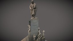
Taras Shevchenko monument in Kharkiv 3D Model, Optimized by RigModels.com, Fully textured with UV Mapping and materials.
Download Taras Shevchenko monument in Kharkiv in various files formats such as Wavefront Object format, Autodesk FBX, DirectX 9.0, Stereo Lithography and HTML5 JSON format.
The monument to the Ukrainian poet, writer, artist and thinker Taras Grigorievich Shevchenko is located in the center of Kharkov - in the Shevchenko Garden, at the entrance to the central alley from the side of Sumskaya Street. The total height of the monument is over 16 meters, the statue is 4.5 meters. The goal of the project is to obtain sufficient information for further modeling and study of all details. To solve this problem, we used an RTC360 laser scanner, a DJI Mavic 2 Pro drone and a Canon EOS R camera. In the course of the work, laser scanning, photography from a quadrocopter and additional photos were carried out. The next stage was office processing. The second cycle was implemented using Leica Cyclone and Reality Capture programs, which were enclosed in data binding to a coordinate system. The next point was an automatic combination of aligned point clouds and photographs. We got the full point cloud of the object. 3D Model is ready to download for free, this model contains 880806 polygons.